- AKA: Upland: Kulamanen, Manobo, Manuvu, Matigsalug, Matidsaug, Obo, Obbo, Tigwa-Salug. Guiangan: Attaw, Guingan, Jangan.
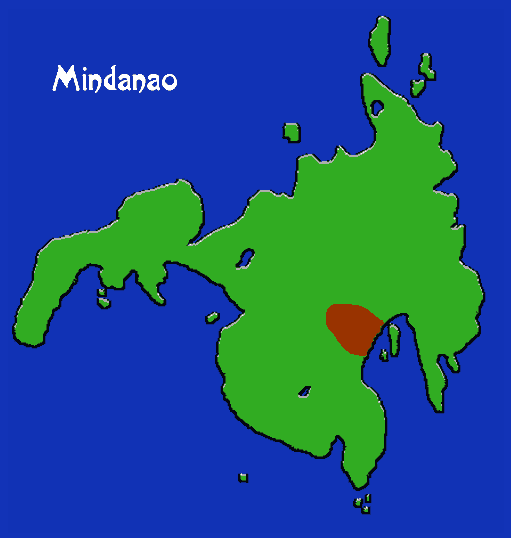
- Location: Mindanao Is: mountains south & east of Mount Apo; E of Cotabato.
- Languages: Bagobo (Manobo family)
- Supergroup: Manobo
- Subgroups: Tahrug (W. Davao River), Tinananon (headwaters of Tianan R.), Puangion (SE Bikidnon prv), Kuamanon (Kuaman R); many others. Many cultural and dialectical differences.
- Subsistence: Swidden and plantation agriculture: rice, sweet potato, corn, bananas, sago, coconut. Regular hunting, fishing, gathering.
- Population: 58,601 (1994)
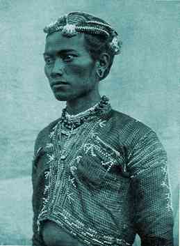
The Bagobo live in houses scattered near swidden fields, linked by kinship under powerful regional datus; the datu of Sibulan is a unifying authority. Datu houses are huge and serve as ceremonial defense centers. Maganis, or strong men, control specific domains. The Bagobo are considered the most colorful people of the Philippines, heavily embroidering their abaca clothing with beads and stitchwork. They also produce fine metal craft, working in brass, bronze, and iron, and are known for their betel boxes. The constant jingling of innumerable tiny brass bells attached to the clothing is a Bagobo trademark.