- AKA: B'laan, Bilaan, Balud, Baraan, Biraan, Bilanes, Blan, Buluan, Buluanes, Koronadal, Sarangani, Taglagad, Tagalagad, Tacogon, Tumanao, Vilanes, Bubluan Buluanes.
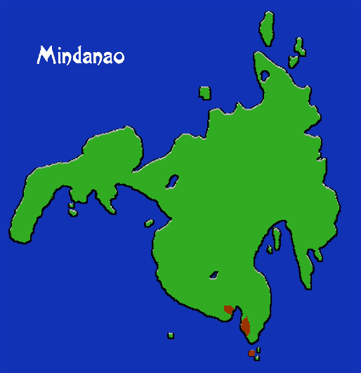
- Location: Mindanao province of Davao del Sur; also South Cotabato and Sultan Kudarat. Core areas: San Marcelino, Malita, J. A. Santos, Sarangani.
- Languages: Blaan (part of Tiruray and T'Boli group, distinct from language of central Philippines)
- Subgroups: Tagalagad, Tagcogon, Buluan, Bira-an, Vilanes, Balud.
- Subsistence: Dry rice, corn (growing in importance), millet, sugar can, bananas, root crops. Hunting, gathering.
- Population: 94,885
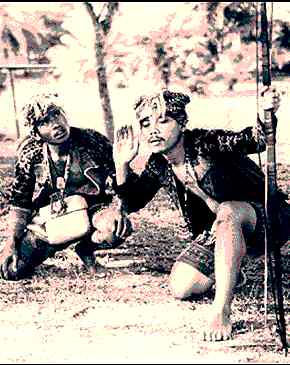
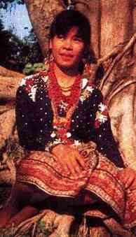
The Blaan traditionally live in the hills near the Davao gulf in territory abutting that of the Bagobo, and in the Davao and Cotabato watersheds; more recently they have moved into the coastal area. Their culture has been changing very rapidly. Houses are scattered about the swidden fields, generally within sight of each other, and neighborhoods are ruled by hereditary datus. The lebe is the Blaan equivalent of the Bagobo magani.