- AKA: Bontoc, Igorot, Guianes, Bontoc Igorot
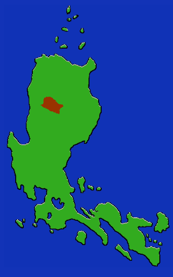
- Location: Northern Luzon, Mountain Province; upper Chico drainage.
- Subgroups: Central, Talubin, Barlig, Lias, Kadaklan. Based on dialects.
- Subsistence: Wet rice, sweet potatoes, corn, millet, beans.
- Population: 65,000 (1980)
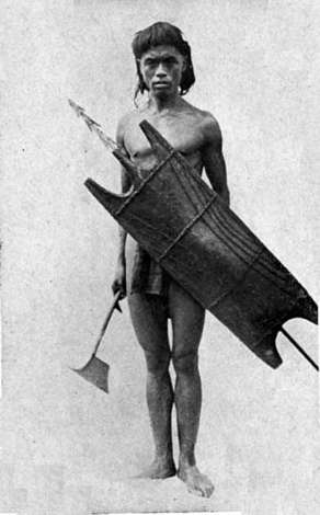
- Bontok in the museum: Woodcarving, basketry, weapons.
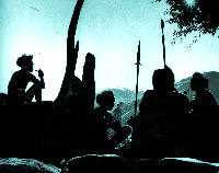
The Bontok employ stone-walled rice terracing technology, and make unique use of organic fertilizers. Fields are irrigated via intricate canals channeling mountain streams, through raised wooden troughs, or occasionally water is carried by hand. Rice, which is the principal crop, is rotated with sweet potato, corn, millet and beans. The Bontok distinguish themselves from the other modern Cordillera groups by the use of pocket hats among the males; and the continued preference for the ax over the bolo as a tool. Communities are organized around village wards, the governing institution of which is the Ato, a gathering place and dormitory for single males which also serves as a council house. Boys, traditionally sleep in these houses, where they are trained in male adult roles, as soon as they can. Dormitories called olag exist for the girls as well; each is under the care of an elder single woman. Houses of stone and wood are usually built on the ground and topped by a steep, pyramidal thatch roof. Stone-walled pig pens are common. Major Bontok populations are in the towns of Bontoc, Sadanga, and Barlig. They share the southern area, especially the town of Sagada, with the very similar Kankanai.