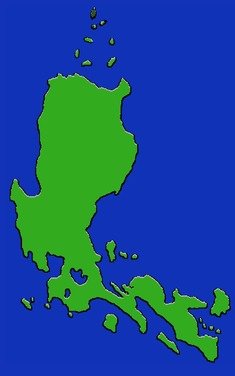
- Location: Batanes-Babuyan islands north of Luzon
- Languages: Itbayat
- Subsistence: Root crops, especially sweet potato; yams, taro, bananas, citrus fruits. Fishing.
- Population: 20,350 (1994; together with Ivatan)
Together with the Ivatan, the Itbayat inhabit the the Batanes-Babuyan groups, two island groups in extreme northern Luzon which lie in the typhoon belt. Only the larger islands are habitable and even these consist of mostly rugged terrain. These are distinctive cultures which have features in common with both the Luzon Cordillera people and those of Taiwan, and they are strongly self-sufficient. Itbayat, the largest island, had a 1990 population of 3551, while the governmental seat of Batan had a population of 6000; many also now live in Bukidnon and Cagayan. Most of the people live along the coast, due to the ruggedness of the interior. Itvayat and Ivatan are separate languages, and the speakers have distinct ethnic characters. To withstand the strong winds, houses are built with thick walls of mortar and stone, and roofs have many layers of thatching. Fishermen use sturdy craft which are rowed rather than paddled; the dug-out banca used elsewhere in the Philippines is absent here. Windbreaking trees divide the agricultural fields. Households being largely self-sufficient, there are generaly no marketplaces