- AKA: Bajau, Cagayano, Orang Cagayan, Sama Cagayan, Tao Cagayan, Sama
- Supergroup: Sama
- Subsistence: Corn, cassava; copra as cash crop.
- Population: 22,320 (1990); 15,423 in Tawi-Tawi province.
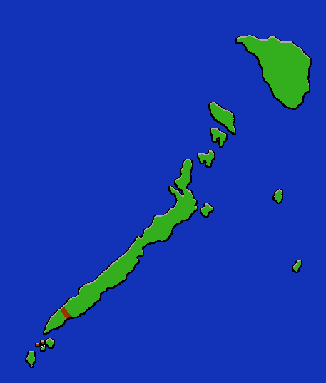
The Jama Mapun are distributed over a wide area from Borneo to the southwestern Philippines and Palawan, but the largest concentration is on the island of Cagayan de Sulu. They are more oriented towards a land-based existence than most Sama groups, but are also heavily oriented towards maritime trade emphasizing copra and forest products; they receive many consumer products through barter with northern Borneo cities. They live both on the coast and in the interiorof their islands. Kinship is traced bilaterally, but there are unilineal features such as the patrilineal inheritance of titles. Political structure revolves around the Sultanate, but there is also an ancestor based grouping called lungun. The elaborate music and dance of the Jama Mapun are related to those of Southeast Asia.