- AKA: Tirurai, Teduray, Teguray, Tidulay
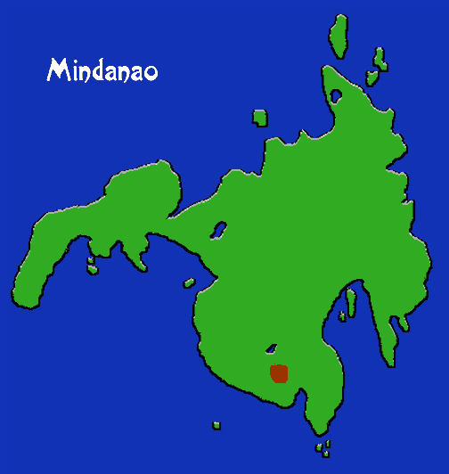
- Location: SW Mindanao
- Subsistence: Dry cultivation of rice, corn, sweet potatoes, sugar cane, cassava, taro, and tobacco. Gathering, hunting, and fishing.
- Population: 76,883
- Tiruray in the Museum: see Basketry page
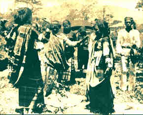
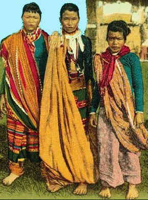
Living high in an area of the 4,000 foot plateau of southwestern Mindanao bounded by the Tamontaca and Tran rivers and the Celebes Sea to the west, the Tiruray have retained much of their indigenous culture despite their proximity to the dominant Magindanao, living in the Cotabato Valley to the east. They can be divided into three groups based on subsistence orientation: riverine, coastal, and the more numerous mountain; each has its own dialect. There is also a special ceremonial and ritual language. Houses are generally built near the fields in the uplands, in groups called ingeds. Agricultural matters are decided based on a lunar calendar and another based on the stars. There is considerable interaction with the Magindanao, particularly with respect to trade. The Tiruray are very accomplished craftspeople, weaving exquisite baskets covered with distinctive motifs. They also make earrings, pendants, and necklaces out of horse hair.