- AKA: Tagakaolo, Dagan, Laoc, Saka, Caragan, Calagan, Kagan, Laoc, Saka, Mandaya, Mansaka
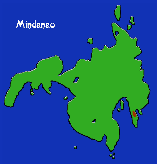
- Location: Davao Province, Mindanao.
- Languages: Mansaka related
- Supergroup: Mandaya/ Mansaka
- Subgroups: Tagakaolo, Kagan, Laoc
- Subsistence: Dry cultivation of rice, corn, tubers, many other crops. Gathering.
- Population: 87,270 (1994)
The Kalagan live between the coast and the B’laan country in Davao province, and along the tributaries of the Malita, Lais and Talaguton rivers. They have traditionally lived in small, warring groups. At present, corn, which can be cropped 2 or 3 times a year, is gradually supplanting rice as the staple crop. The traditional culture is much like that of the neighboring Kulaman and B’laan, where territories are ruled over by strong men with special status. But the Kalagan have undergone many changes as a result of their links to the national market system. Religion is basically Islam with some syncretism, and the political structure is related to the institution of the sultanate with its religious overtones. The elaborate music and dance of the Kalagan are essentially Southeast Asian.